Seascape Carbon
Where is it, how and when did it get there and where did it come from?
Our Approach
We will identify the origins of carbon on the world’s continental shelves and explore how it accumulated and altered over time, discover where the biggest stores are found, molecularly fingerprint where they came from, and put the size of these carbon stores into context in the global carbon cycle.
Mining Existing Data Sources
We are mining existing data sources to discover where marine sediment cores have been collected in the past. These cores are kept in collections worldwide and we will reuse them for new analyses.
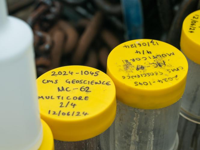
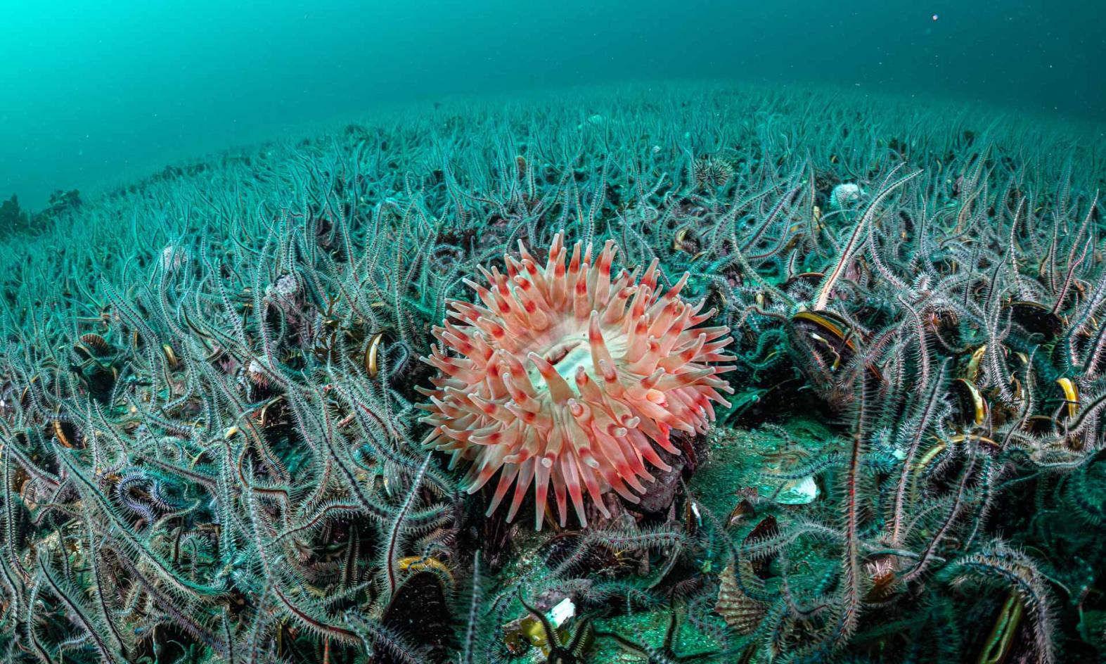
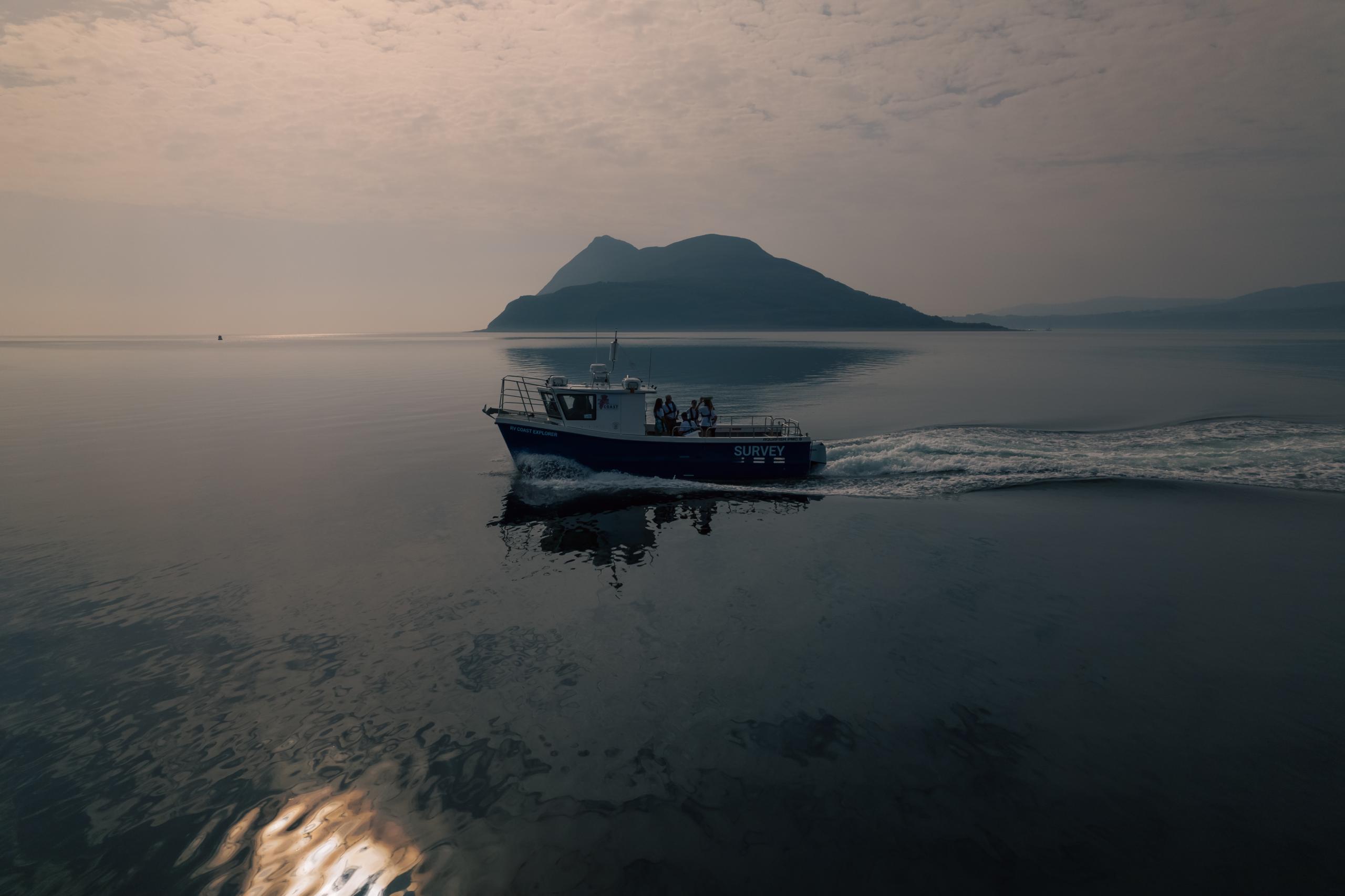
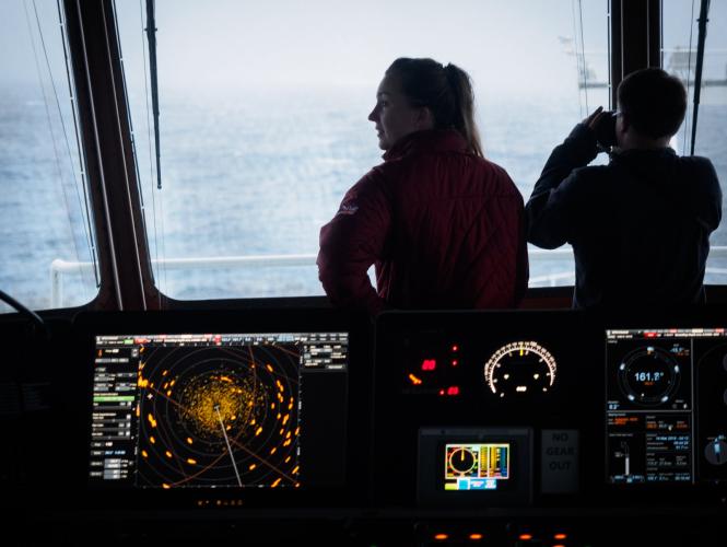
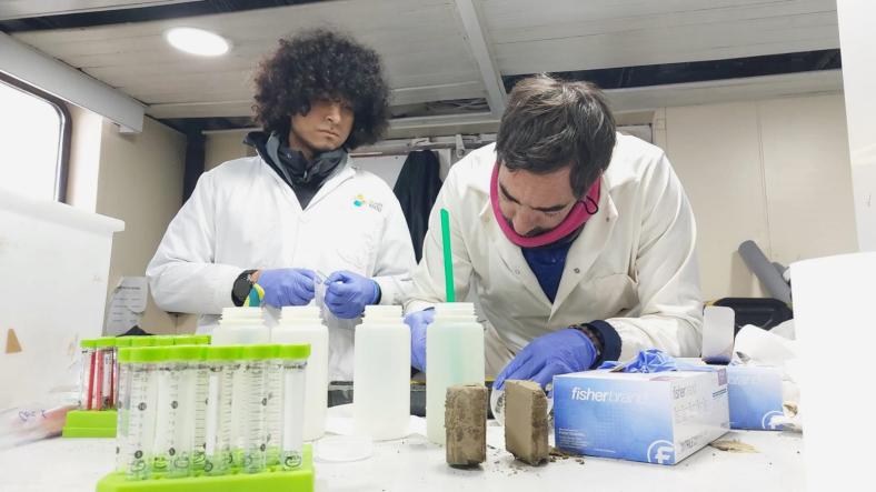
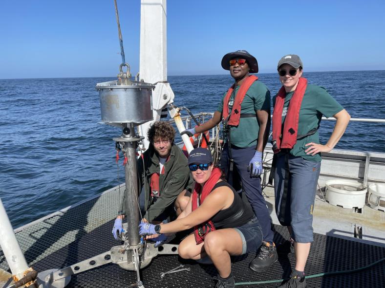
Conducting Oceanographic Sampling
In data-poor areas, we are conducting oceanographic sampling with equipment that extracts fresh sediment cores from the seabed. These can then be assessed for carbon content.
Creating Earth Systems Models
Using the latest advancements in the power of supercomputers, our scientists create Earth system models which can simulate interactions between the land, ocean and atmosphere. For example, our expert team reconstructed how ocean currents have changed since the end of the last ice age, to predict areas where carbon has accumulated in the ocean.
Reviewing Environmental DNA
To determine the origin of organic carbon in sediments, we are analysing the amalgamation of DNA left behind in it by different organisms. This is known as environmental DNA or ‘eDNA’.

20/06/24
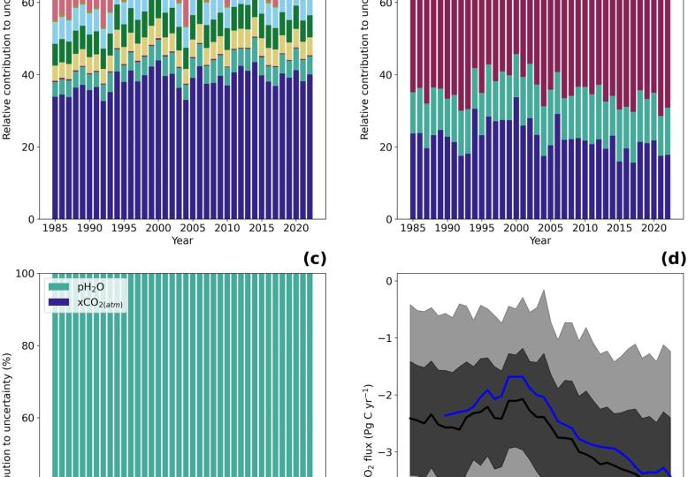
A comprehensive analysis of air-sea CO2 flux uncertainties constructed from surface ocean data products
Increasing anthropogenic CO2 emissions to the atmosphere are partially sequestered into the global oceans through the air-sea exchange of CO2 and its subsequent movement to depth, commonly referred to as the global ocean carbon sink. Quantifying this ocean carbon sink provides a key component for closing the global carbon budget, which is used to inform and guide policy decisions. These estimates are typically accompanied by an uncertainty budget built by selecting what are perceived as critical uncertainty components based on selective experimentation. However, there is a growing realization that these budgets are incomplete and may be underestimated, which limits their power as a…
20/06/24
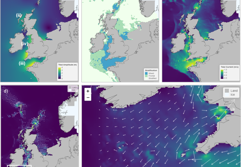
(PALTIDE) for relative sea level and palaeotidal simulations of the northwest European shelf seas since the Last Glacial Maximum
Relative sea level (RSL) predictions based on glacial isostatic adjustment (GIA) simulations and palaeotidal predictions generated by hydrodynamic models using GIA-generated palaeotopographies are available in the published literature, and datasets are available via data repositories. However, these data are often difficult to extract for specific locations or timeslices, requiring users to request datasets from corresponding authors. To overcome the intractability of these data and to enable users to interrogate datasets themselves without requiring offline requests, we have developed PALTIDE, an online visualization tool with intuitive user interface. The model domain for this interactive visualization tool is the…


Safeguarding Our Seas
Lessons from Lundy