Human influences
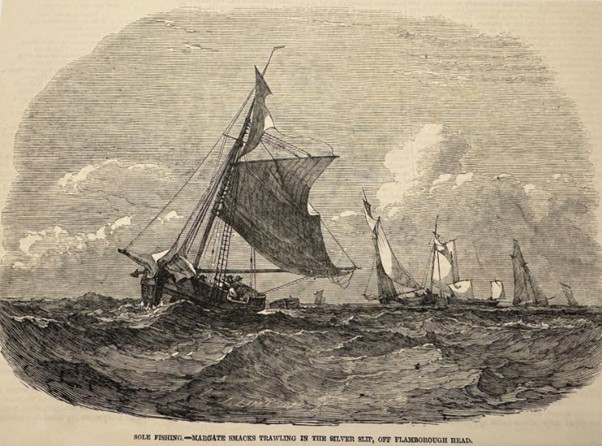
Historical development and spread of human influences on the seabed
Our Approach
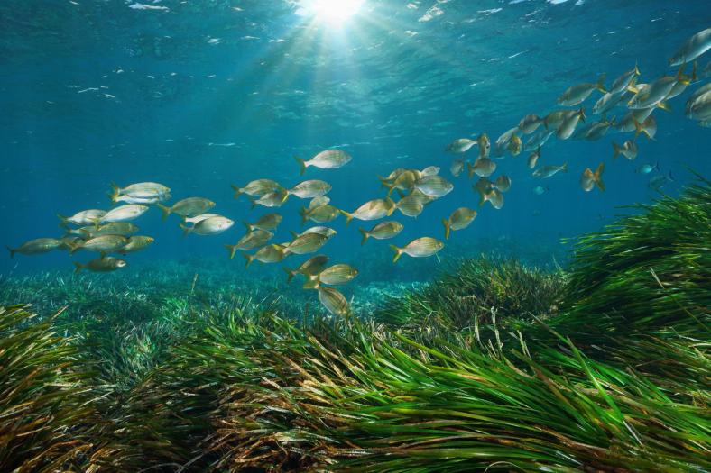
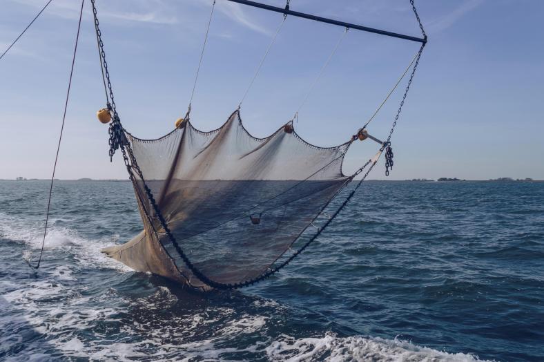
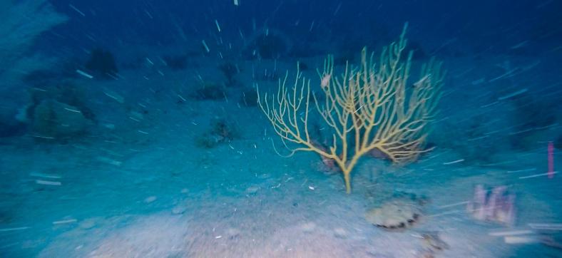
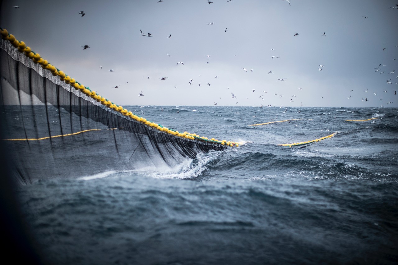
We will uncover historic and contemporary patterns of human influence on continental shelf carbon and determine its vulnerability to re-release to the atmosphere. Bottom fishing using trawls and dredges is the most significant activity disturbing marine sediments, with implications for the fate of stored carbon. We will unravel the history of human pressure on the seabed and quantify its impact on carbon to identify potential climate mitigation options.
Reviewing Archival Literature
We are conducting an extensive review of historical archives and reports to chart the spread of the multiple different human activities that have disturbed the seabed over the last two and a half centuries up to present day.
Consulting Global Fisheries Datasets
Using global fishery datasets going back to the 1950’s as a proxy for seabed disturbance, we are exposing the expansion of disturbance caused by the post-war industrialisation of fishing.
Performing Spatial Analysis
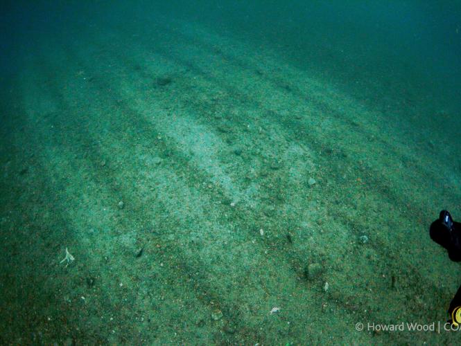
Carrying out spatial analysis, we overlay satellite data on the footprint from different fishing gears with carbon distribution maps, to highlight the most vulnerable regions.

Conducting Field Experiments
With pioneering scientific protocols and deployment of field experiments we are empirically measuring the effects of trawling on sediment fauna and biogeochemistry from within the water.

15/08/24
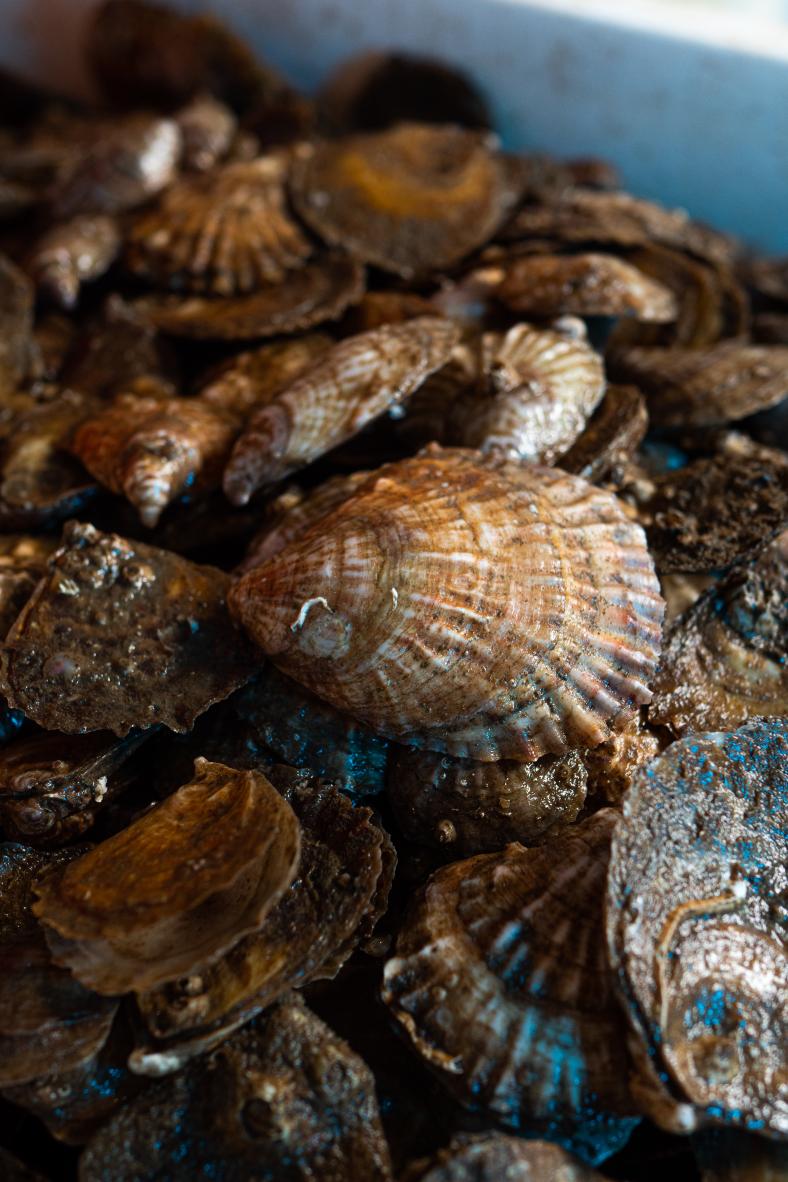
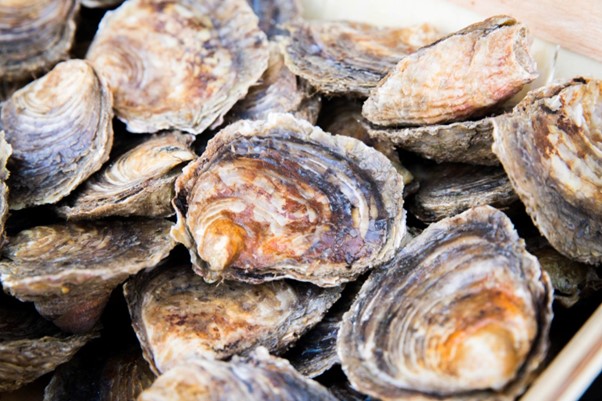
European native oyster reef ecosystems are universally collapsed
Oyster reefs are often referred to as the temperate functional equivalent of coral reefs. Yet evidence for this analogy was lacking for the European native species Ostrea edulis. Historical data provide a unique opportunity to develop a robust definition for this ecosystem type, confirm that O. edulis are large-scale biogenic reef builders, and assess its current conservation status. Today, O. edulis occur as scattered individuals or, rarely, as dense clumps over a few m2. Yet historically, O. edulis reef ecosystems persisted at large scales (several km2), with individual reefs within the ecosystems present at the scale of several hectares. Using the IUCN Red List of Ecosystems Framework, we conclude the European…
15/08/24
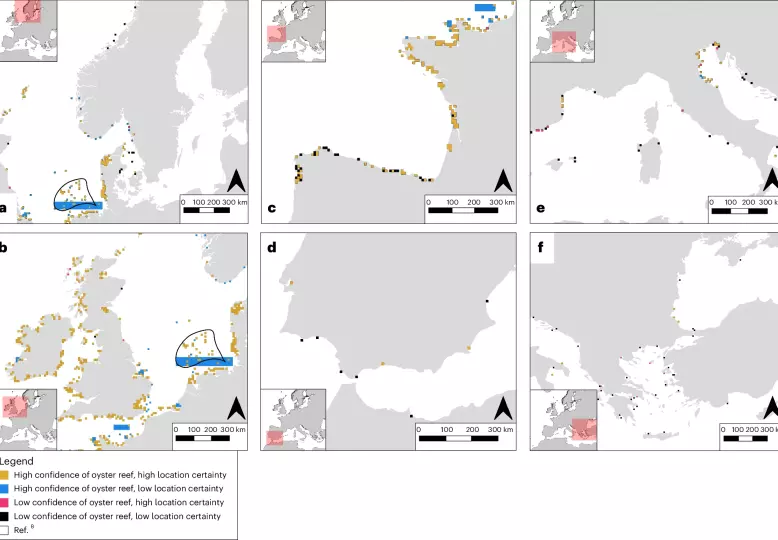
Records reveal the vast historical extent of European oyster reef ecosystems
Anthropogenic activities have impacted marine ecosystems at extraordinary scales. Biogenic reef ecosystems built by the European flat oyster (Ostrea edulis) typically declined before scientific monitoring. The past form and extent of these habitats thus remains unknown, with such information potentially providing valuable perspectives for current management and policy. Collating >1,600 records published over 350 years, we created a map of historical oyster reef presence at the resolution of 10 km2 across its biogeographic range, including documenting abundant reef habitats along the coasts of France, Denmark, Ireland and the United Kingdom…